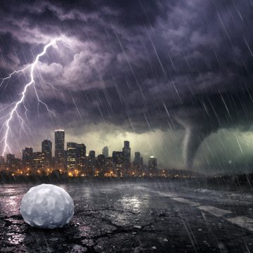
A tornado outbreak threat is taking shape across Illinois and Indiana, with June 10 reports, June 11 risk discussions, and a June 17 setup pointing to intense storms, damaging winds, large hail, and the chance of strong tornadoes.
severe weatherhailtornado outbreakdamaging windsJune 11 2026tornadoIllinoisIndianaJune 17 2026June 10 2026storm risk

A tornado threat is building across Illinois and Indiana as a volatile June pattern lines up for a dangerous round of severe weather. The setup has already produced reports of storms and rotation earlier in the month, and forecasters are now warning that the mid-June system could bring a more serious outbreak with intense tornadoes, destructive winds, and large hail.
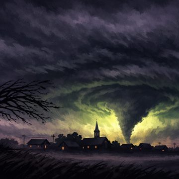
The most concerning period centers on June 17, when a broad severe weather outbreak is expected to sweep across parts of the Midwest. Central Illinois into northwest Indiana has emerged as the main target for the highest risk, with conditions favorable for supercells and a fast-moving line of storms later in the day and into the evening. The threat is not just for brief spin-up tornadoes. The atmosphere is expected to support long-lived storms capable of producing strong tornadoes, wind gusts near 80 mph, and hail up to 2.5 inches in diameter.
That level of risk did not appear out of nowhere. Earlier June storm reports and risk discussions pointed to a pattern that was already becoming active, with damaging winds, isolated tornado warnings, and observed rotation along storm lines. One storm near Meadville produced a tornado, underscoring how quickly a marginal-looking setup can become dangerous when the atmosphere is primed. Even when the main hazard is wind, any line of storms can embed rotation and produce tornado warnings in a matter of minutes.
By June 11, the concern had shifted from isolated storm reports to the broader environment. Warm, unstable air was expected to surge northward into the Midwest, while strong winds aloft created the kind of shear that can organize storms and help them rotate. The ingredients were lining up for a classic severe weather day: rich low-level moisture, steep lapse rates, strong upper-level flow, and a warm front that could focus the worst storms near the most unstable air. That combination is often what separates an ordinary thunderstorm day from one that can produce tornadoes.
The June 17 outbreak threat is especially notable because of the strength of the wind fields. A powerful jet stream and a strong low-level jet are expected to overlap over the region, giving storms the rotation they need to intensify. In practical terms, that means any storm that becomes discrete ahead of the main line could quickly turn tornadic. Even after storms merge into a line, the damaging wind threat may remain high, and embedded tornadoes can still occur within the broader system.
The timing also raises concern. The most dangerous storms are expected during the afternoon and evening, when many people are commuting, running errands, or still outdoors. In some areas, the line may continue overnight, which adds another layer of risk because tornado warnings and severe thunderstorm warnings are harder to respond to after dark. The potential for storms to arrive in multiple rounds only increases the need to stay alert through the whole event.
Illinois and Indiana are not the only states with risk, but they appear to be the core of the outbreak setup. Surrounding areas in the Midwest may see severe storms as well, yet the corridor from central Illinois into northwest Indiana stands out for the greatest tornado potential. That is where the warm front, moisture return, and strongest forcing may overlap most effectively. If the front lifts farther north than expected, the risk zone could expand. If it stays south, the worst storms may stay more concentrated. That boundary will matter.
Recent severe weather in the region has also reinforced how quickly damage can accumulate. Storms in the Effingham area caused significant damage during the same stretch of active weather, a reminder that even when tornadoes are not the only hazard, severe thunderstorms can still leave a sizable footprint. Downed trees, roof damage, power outages, and blocked roads are all possible when storms organize into powerful lines or supercells.
For residents across Illinois and Indiana, the key message is simple: this is not a routine thunderstorm pattern. The atmosphere is capable of producing all hazards, and tornadoes are a real concern, not a distant possibility. Watches and warnings may come quickly once storms begin to form, especially if individual cells develop ahead of the main squall line. People should have multiple ways to receive warnings, identify a safe shelter area, and be ready to act immediately if a tornado warning is issued.
It is also important not to focus only on the tornado label and ignore the rest of the threat. Severe wind can be just as destructive over a wider area, and large hail can damage vehicles, roofs, and crops. Heavy rain may also create localized flooding if storms train or move slowly in any one corridor. In outbreaks like this, the hazards often arrive together rather than separately.
The sequence of June storm activity has been a gradual escalation: early reports of severe weather and tornado rotation, followed by clearer signs of a major outbreak setup, and then a high-risk day centered on Illinois and Indiana. That progression is what makes the current tornado concern especially serious. The atmosphere has not only become favorable for storms; it has become favorable for storms that can organize, intensify, and cause significant damage over a broad area.
As June 17 approaches, the most important step is preparation. Review where to go if a warning is issued, keep phones charged, and stay aware of changing forecast updates through the day. When a tornado threat is this elevated, the difference between a close call and a dangerous outcome can come down to minutes.